enjoyvaranger.com/turer/119035
📷 Trine Sæternes
Easy🥾 hiking
Ketilvarden
📍 Sør-Varanger
📏
5.1 km
Length
⏱️
4h
Time
⬆️
216 m
Ascent
🏔️
241 m
Max elevation
📅 Best season: May, Jun, Jul, Aug, Sep, Oct
Map & route
Kart © Kartverket
Open in Komoot →About the trip
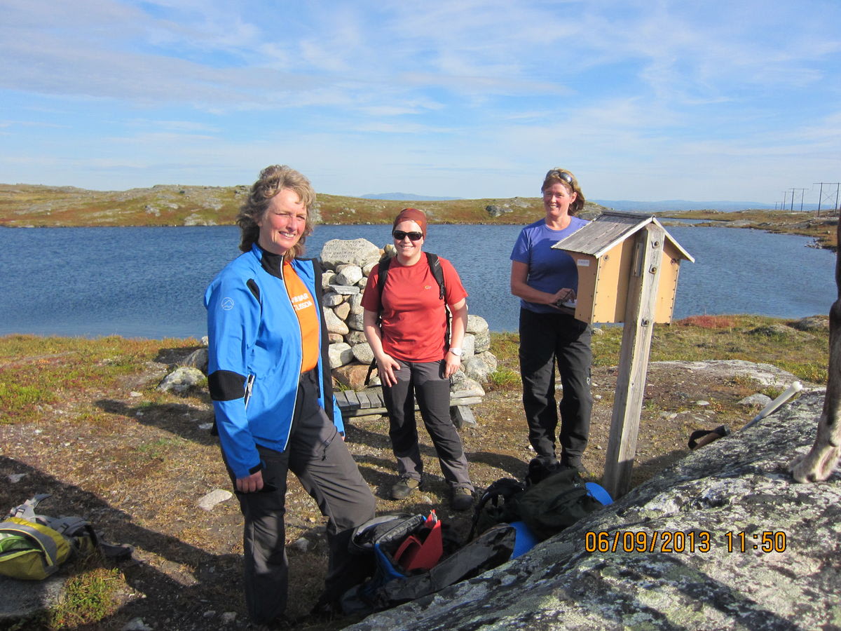
# Ketilvarden — View Over Sandnesdalen Start from the cemetery at Sandnes and follow the gravel path upwards. The marked trail begins at a sharp bend towards the gravel pit — from there it is approximately 11 km round trip in relatively easy terrain. Along the way you pass the access road for the new power line while heading towards Ketilvarden at Fiskevatnet, southwest of Teltvatnet. The hike takes around 1.5–2 hours one way and rewards you with fantastic views. You can even find a fitness box at the summit! **Important:** The hike goes through the Defence Force shooting and training range. Call OPS GSV (78 98 62 72) before you go — they are staffed 24/7 and will tell you if there is military activity. Safety first!
🚌 Getting there
General
Ta av fra FV 885 mot Langfjorden, der du fortsetter til parkeringsplass ved kirkegården på Sandnes. Følg deretter anleggsveien til stien.
Download GPS track
Turdata © UT.no — Den Norske Turistforening