enjoyvaranger.com/turer/119028
📷 Øyvind Friskilæ
Moderate🥾 hiking
Bugøynestoppen/Gàranasèohkka
📍 Sør-Varanger
📏
6.7 km
Length
⏱️
3h
Time
⬆️
507 m
Ascent
🏔️
484 m
Max elevation
📅 Best season: Jun, Jul, Aug, Sep, Oct
Map & route
Kart © Kartverket
Open in Komoot →About the trip
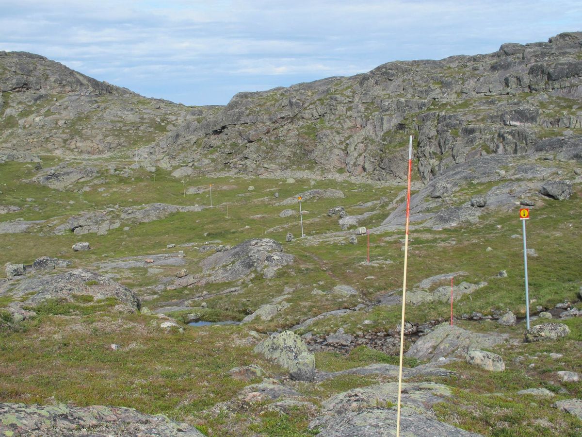
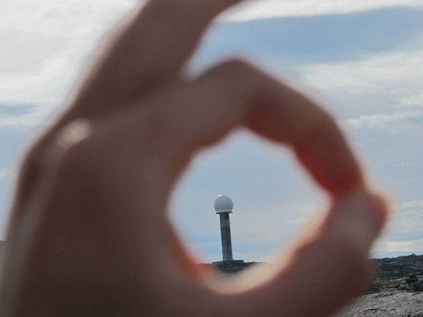
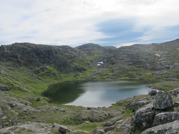
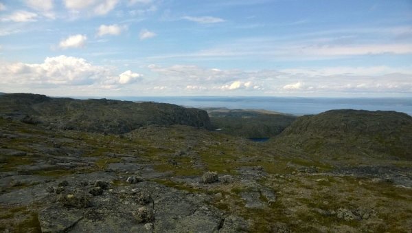
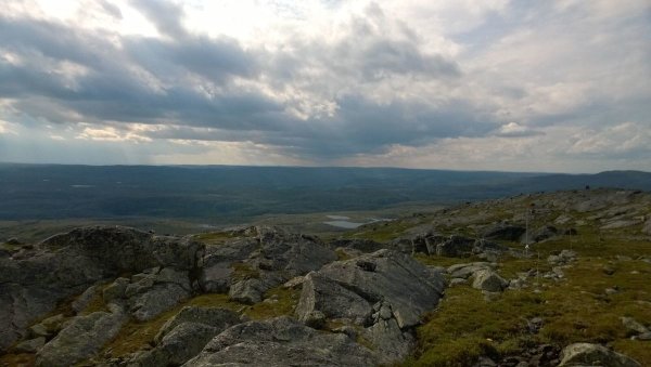
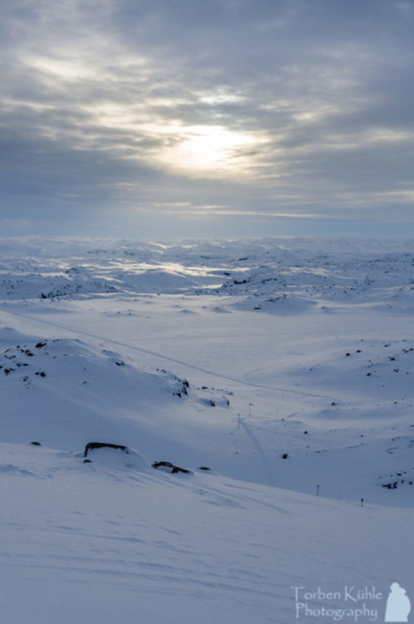
# To Norway's Northernmost Viewpoint Gàranasèohkka – or Bugøynestoppen as many call it – is Sør-Varanger's highest peak at 497 metres. This is a hike that rewards you with panoramic views over the entire region. The start is easy to find at county road 355 towards Bugøynes, from the gravel pit at Brenngamvannet. Avinor has marked the trail well the whole way, so you can just follow the tracks. The terrain is relatively flat before it becomes a bit more challenging towards the end – wear good shoes, especially after rain. Along the way you pass several beautiful fishing lakes. When you reach the top after 2.5–3 hours, fantastic views open up over Bugøyfjorden, Varangerfjorden and the mountain landscape beyond. A real classic when the weather smiles!
🚌 Getting there
General
Følg fylkesvei 335 mot Bugøynes og stopp ved sandtak på hø.side, 4 km før Bugøynes.
📷 Øyvind Friskilæ
📷 Øyvind Friskilæ
📷 KMO
📷 KMO
📷 Torben Kühle
Download GPS track
Turdata © UT.no — Den Norske Turistforening