enjoyvaranger.com/turer/117632
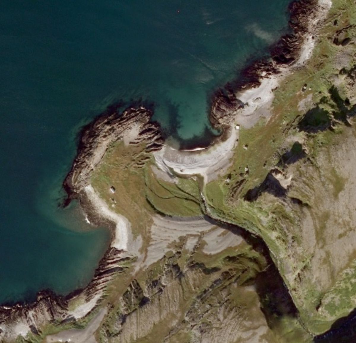
📷 Ukjent
Moderate🥾 berry-picking🥾 camping🥾 fishing🥾 hiking🥾 mushroom picking
Fottur til Skovika
📍 Båtsfjord
📏
4.4 km
Length
⏱️
2h 30min
Time
⬆️
161 m
Ascent
🏔️
90 m
Max elevation
📅 Best season: May, Jun, Jul, Aug, Sep, Oct
Map & route
Kart © Kartverket
Open in Komoot →About the trip
# Hiking Trail to Skovika – a Classic in Varanger This varied hike takes you from Perelva and up a steep slope with 100 meters of elevation gain before you descend towards Øvre Eikebergvatnet at just 13 meters above sea level. A wonderful contrast! Then you follow the well-maintained trail along both Eikebergvikvatnene, before continuing eastward to the hidden Blindvatnet. A scramble around the rocky outcrops at Båtsfjorden makes the hike extra exciting. Wondering about berry picking or fishing? The conditions here are excellent. Both Eikebergvikvatnene and Blindvatnet are perfect for camping and adventures. For the adventurous: take the beach road from Perelva to Simabukt – some sections require a bit more balance, but the reward is unique. **Blue Grade** – moderately challenging due to the length and tough start.
🚌 Getting there
General
God plass til parkering ved grillplassen ved Perelva.
Download GPS track
Turdata © UT.no — Den Norske Turistforening