enjoyvaranger.com/turer/115004
📷 Frank M. Ingilæ
Easy🥾 hiking🥾 summit🥾 woodland outing
Fottur til Uhcasearbbas 218 moh
📍 Tana
📏
5.1 km
Length
⏱️
2h
Time
⬆️
238 m
Ascent
🏔️
215 m
Max elevation
📅 Best season: May, Jun, Jul, Aug, Sep, Oct
Map & route
Kart © Kartverket
Open in Komoot →About the trip
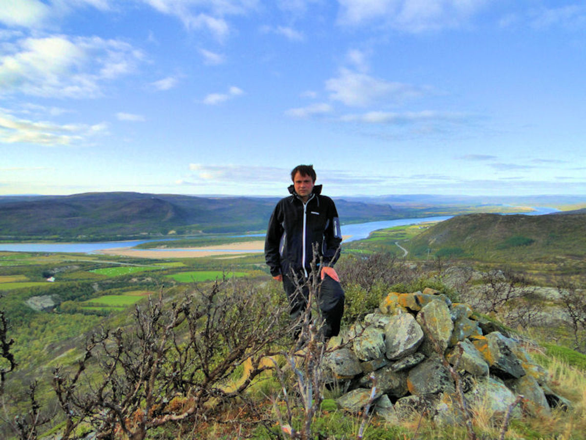
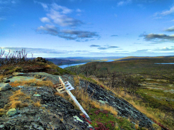
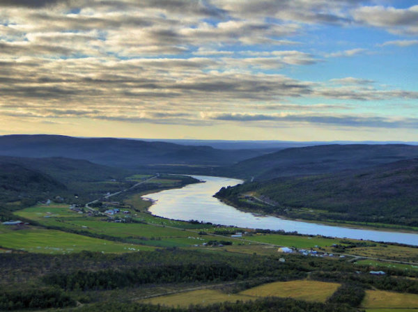
# Uhcasearbbas – a hidden gem in Tana Looking for a classic mountain hike without drama, but with *plenty* of views? Uhcasearbbas (218 m) is the answer. Just 2.8 kilometers from the starting point in Tana municipality, and the trail lies pleasantly dry and inviting before you. As you walk through the valley, you understand why people love this part of Northern Norway. The summit? It gives you panoramas like few others – Polmak, Polmakvann and Tanaelva stretch out beneath you like a map. Thanks to the village association and Fefo for the marking – blue and white poles all the way up since 2011. This is one of the summits with the *best* views in the area. Simple, beautiful, tingly. **Next Saturday?**
🚌 Getting there
General
For å komme til startpunktet kjører man fra kommunesenteret Tana bru mot Polmak. Noen hundre meter før brua over Polmakelva tar man av til venstre langs en grusvei. Man kan parkere nær riksveien. Man går til enden av grusveien ca 300 meter. Ved en hytte starter selve stien til venstre for hytta.
📷 Frank M. Ingilæ
📷 Frank M. Ingilæ
Download GPS track
Turdata © UT.no — Den Norske Turistforening