enjoyvaranger.com/turer/1114398
📷 Øystein Ruud
Hard🥾 hiking🥾 summit
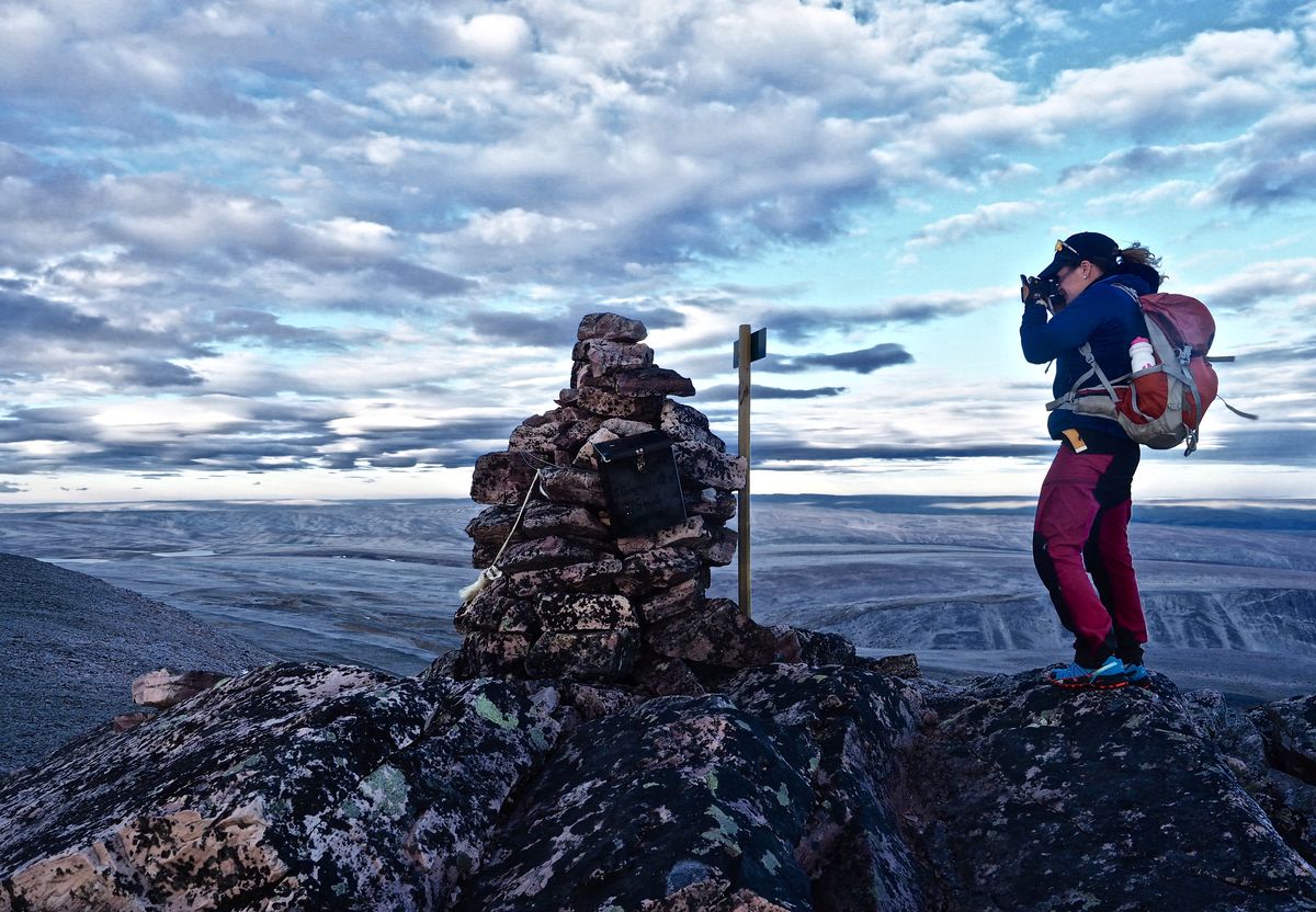
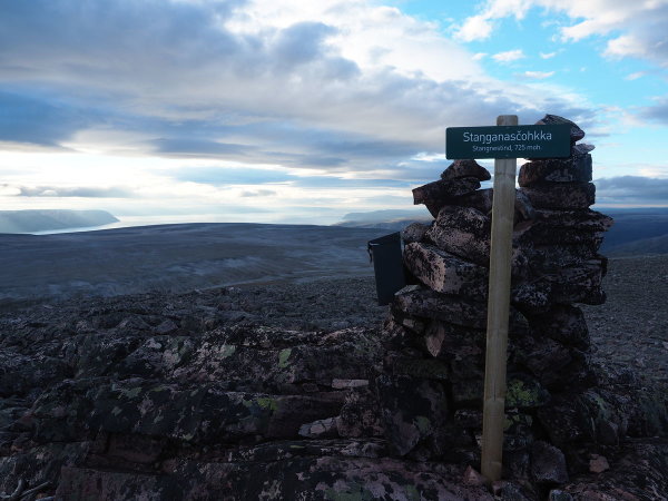
Fottur til Stangenestind (Stáŋganasčohkka) 725 moh
📍 Tana
📏
6.6 km
Length
⏱️
4h
Time
⬆️
686 m
Ascent
🏔️
706 m
Max elevation
📅 Best season: Jul, Aug, Sep
Map & route
Kart © Kartverket
Open in Komoot →About the trip
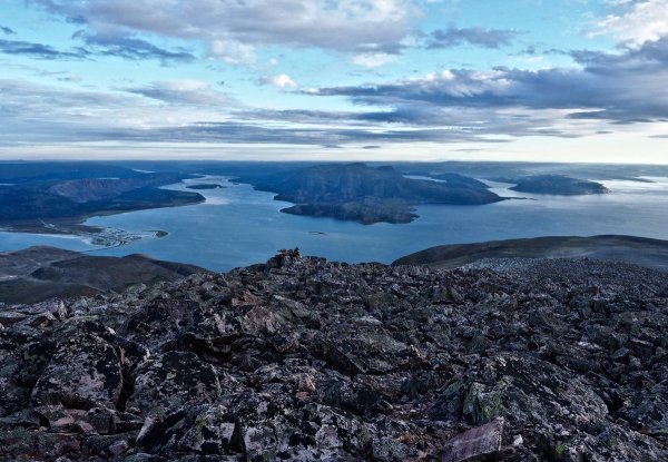
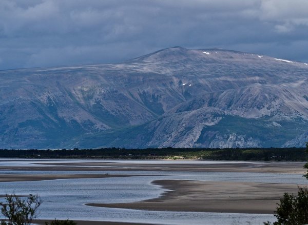
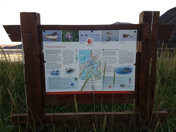
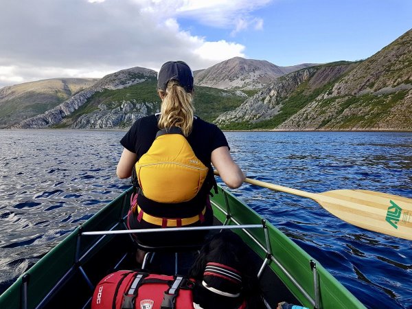
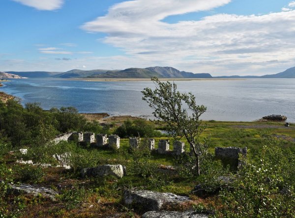
# Stangenestind – Varangerhalvøyas Take-Off Point Do you dream of standing at the highest point of Varangerhalvøya? Stangenestind at 725 meters promises you a view that takes your breath away — in all directions. The mountain stands at the mouth of Tanaelva, and yes, it requires some planning to get there. You must cross Bohki-sundet or Tanamunningen. The easiest solution? Boat shuttle from Høyholmen. From there, the route goes along the shore for about three kilometers to Marjavaggi, where the trail markings take over toward the summit. **Tips:** The maps are not entirely accurate here, so trust the terrain and the markings. Lavvonjarga usually offers boat shuttles and guiding in summer. Or paddle yourself — Varanger rewards those who take the trouble.
🚌 Getting there
General
Bil, eller buss fra Tana Bru langs østsiden av Tanaelva (eller fra Båtsfjord/Berlevåg). Avkjøring til Høyholmen naturreservat er skiltet ca 37 km nordover fra Tana bru. Gode parkeringsmuligheter, rasteplass med toalett.
Public transport
Buss; www.snelandia.no
📷 Øystein Ruud
📷 Øystein Ruud
📷 Øystein Ruud
📷 Øystein Ruud
📷 Øystein Ruud
📷 Øystein Ruud
Download GPS track
Turdata © UT.no — Den Norske Turistforening