enjoyvaranger.com/turer/1112329
📷 Båtsfjord Turistkontor
Hard🥾 berry-picking🥾 camping🥾 fishing🥾 hiking
Fottur til Ytre Syltefjord
📍 Båtsfjord
📏
12.8 km
Length
⏱️
3h 30min
Time
⬆️
299 m
Ascent
🏔️
142 m
Max elevation
📅 Best season: Jun, Jul, Aug, Sep, Oct
Map & route
Kart © Kartverket
Open in Komoot →About the trip
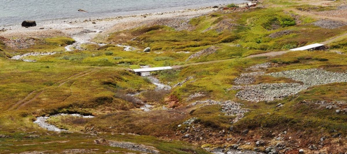
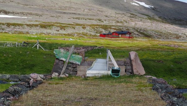
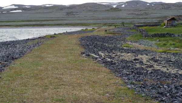
# Hiking to Ytre Syltefjord – A Classic for Adventure Seekers This hike is not for the faint of heart, but it's worth every single step. You start at the boulders and climb past a 90-meter high mast before being thrown into the labyrinths of the rocky mountains. It's physically demanding, but the reward awaits: Storvatnet glistens before you. Follow the river down toward the sea, where a beautiful sandy beach and Ytre Syltefjord await. Prefer an easier route? Go via Nordfjord and traverse the mountain – fewer stone cairns, same magical views. Here there are fish in both the lake and river, as well as wild berries around every turn. Perfect camping spots by both the water and the fjord. **Red difficulty rating** – long hike with demanding rocky terrain. But if you want to experience Northern Norway's raw natural beauty, this is *the* hike.
🚌 Getting there
General
God plass til parkering enten ved kafeen ved den gamle skolen i Nordfjord, ved ytre molo i Nordfjord eller langs den dårlige veien ut mot den gamle søppeltippen i Nordfjord.
📷 Båtsfjord Turistkontor
📷 Båtsfjord Turistkontor
Download GPS track
Turdata © UT.no — Den Norske Turistforening