enjoyvaranger.com/turer/1111813
📷 Øystein Ruud
Hard🥾 hiking
3-dagers fottur opp Skallelv, gjennom Bjørneskaret, ned Komagelva
📍 Båtsfjord, Vardø, Vadsø
📏
43.7 km
Length
⏱️
3 days
Time
⬆️
446 m
Ascent
🏔️
303 m
Max elevation
📅 Best season: Jul, Aug, Sep
Map & route
Kart © Kartverket
Open in Komoot →About the trip
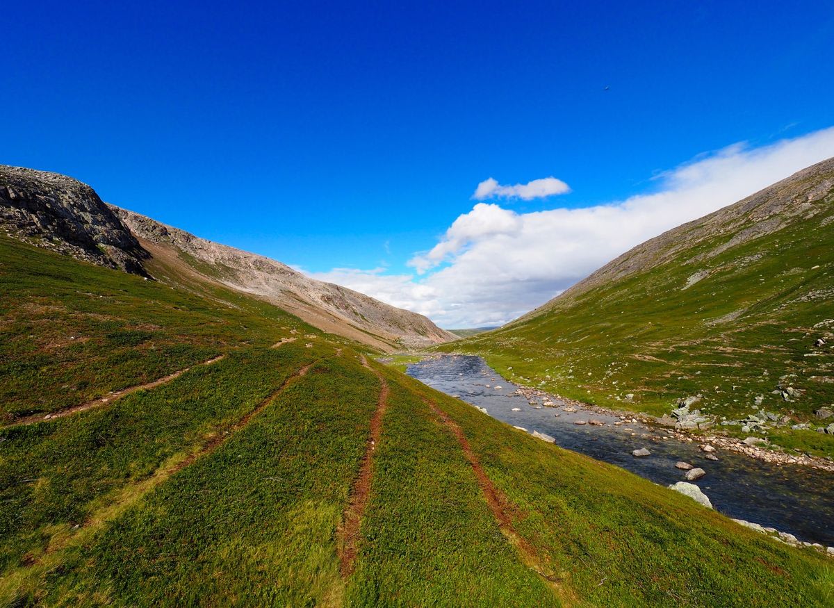
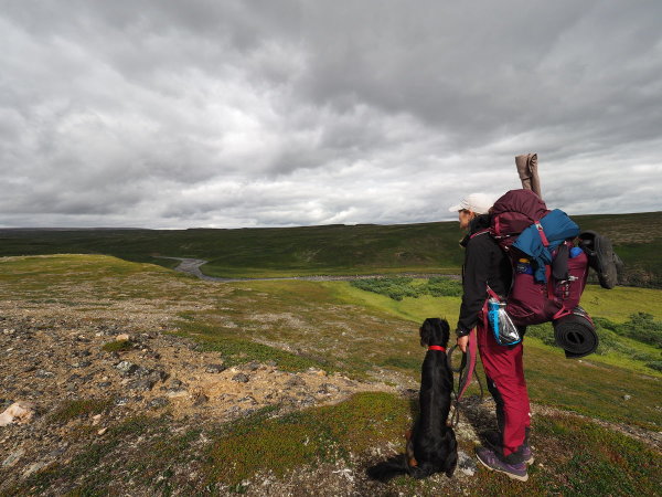
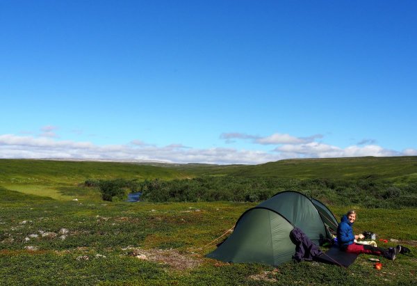
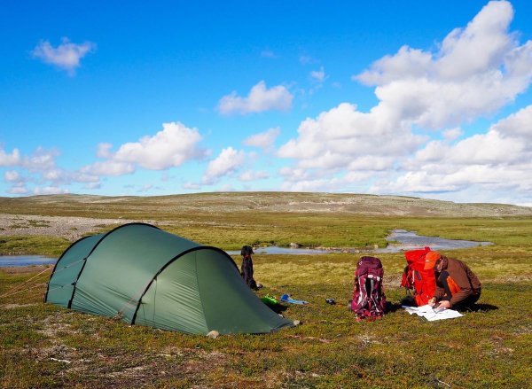
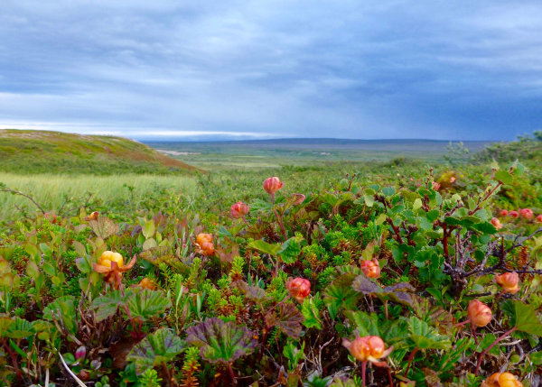
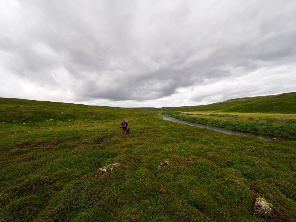
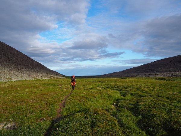
# Adventure through Varangers wilderness Ready for a proper challenge? This 3-day hike through Varangerhalvøya is not for the faint of heart — 50 kilometers of unmarked trail requires experience, map and compass. You start at Skallelv, park at «Kuppelen» on Holmfjellet and quickly make your way down to the river. Here await arctic char and good camping spots. Then you follow the river course upward through Skallelvskaret, where the landscape suddenly opens to an arctic expanse. The main attraction? Bjørneskaret — one of Varangerhalvøya's most spectacular natural formations. From there the hike descends through Komagelva. This is wild nature that demands respect. Navigate by actual terrain and marking — the map is only a guide. But the reward? Endless wilderness and experiences you won't forget.
🚌 Getting there
General
Startpunktet i Skallelv ligger på grusveg ca 3 km fra den nasjonale turistvegen "Varanger", E75. Greit med bil eller apostlenes disipler på grusveien. Parkering ved bom på veg opp til radaranlegg på Holmfjellet. Ved målgang på turen/nasjonalparkgrensa i Komagdalen er det ca 7 km ned til E75. Dårlig vei, kjørbar i lav hastighet.
Public transport
Fra Vadsø/Vardø går det ca 3 avganger daglig langs Varangerfjorden med stopp i Skallelv og Komagvær. Reisetid en drøy halvtime.
http://snelandia.no/Reiseplanlegger
📷 Øystein Ruud
📷 Øystein Ruud
📷 Johanne Salamonsen
📷 Øystein Ruud
📷 Øystein Ruud
📷 Johanne Salamonsen
Download GPS track
Turdata © UT.no — Den Norske Turistforening