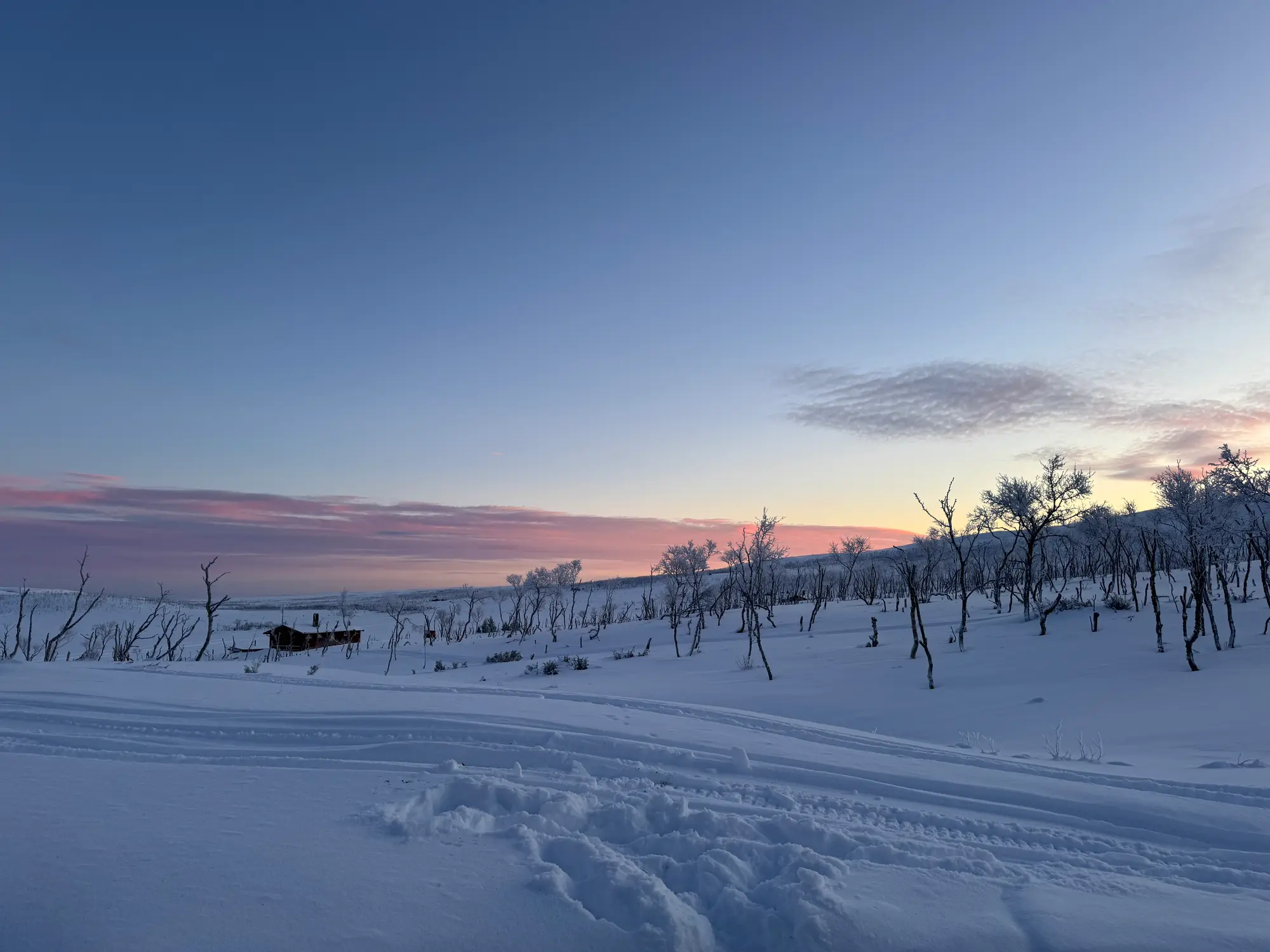
Untouched wilderness at the edge of the world
Varangerhalvøya National Park is one of Norway's last great wilderness areas — and among the least visited. There are no marked trails, no tourist huts, no kiosks. Just plateau, Arctic coastline, reindeer and Arctic fox. It is a park for those who seek genuine solitude.
A park at the edge of the world
The park was established in 2006 and covers 1,803 km² on the northern coast of the Varanger Peninsula — a peninsula that juts into the Barents Sea between the Varangerfjord and the Tanafjord. The terrain is rolling Arctic tundra, with bare rock outcrops, boggy lowland and steep coastal cliffs where the sea crashes in.
The coastline stretches over 80 kilometres and is almost completely inaccessible by road. That means the only way to see it is on foot — or by boat along the outside. Both are adventures in their own right.
📐
1,803 km²
Park area
📅
2006
Established
🦌
reindeer
Around 4,000 individuals in the park
🦊
Arctic fox
One of Norway's most important populations
Wildlife and nature
The park is one of Norway's most important habitats for the Arctic fox — a critically endangered species under active monitoring and management. Seeing an Arctic fox in its white winter coat against the snow is an experience few ever forget.
Reindeer migrate through the park in large herds, particularly in autumn. White-tailed eagles circle the coast, and northern fulmars, puffins and guillemots nest in the steep cliffs along the Barents Sea.
⚠️
No marked trails — map and compass required
Varangerhalvøya National Park has no marked hiking trails. You navigate with map, compass or GPS. Bring enough food and water for the entire trip — there is nothing out there. Always tell someone your plan before you go.
Season and access
The park is technically open year round, but in winter the terrain is demanding and the weather unpredictable. For most visitors summer (June–September) is the natural choice. The tundra is lush, daylight is endless and wildlife is active.
The nearest entry point is along the Rv98 between Varangerbotn and Berlevåg, or via Nesseby on the south shore of the fjord. Some choose to take a boat from Berlevåg and walk in from the north — this is one of the most dramatic ways to experience the park.
Practical tips
- 🗺️Download maps in advance — mobile coverage is minimal in the park. Use Norgeskart.no or Outdooractive.
- 🎒Bring more food than you think you need, and always rain gear. The weather turns quickly by the Barents Sea.
- 🦟Mosquitoes and midges are a nuisance from June to August. Bring repellent and a headlamp with good battery.
- 📞Tell someone your route. Life jackets and a personal locator beacon are recommended for coastal trips.
Klar for Varanger?
Se opplevelser, overnatting og restauranter på kartet.